Català
  Español
 Navigation Tablets
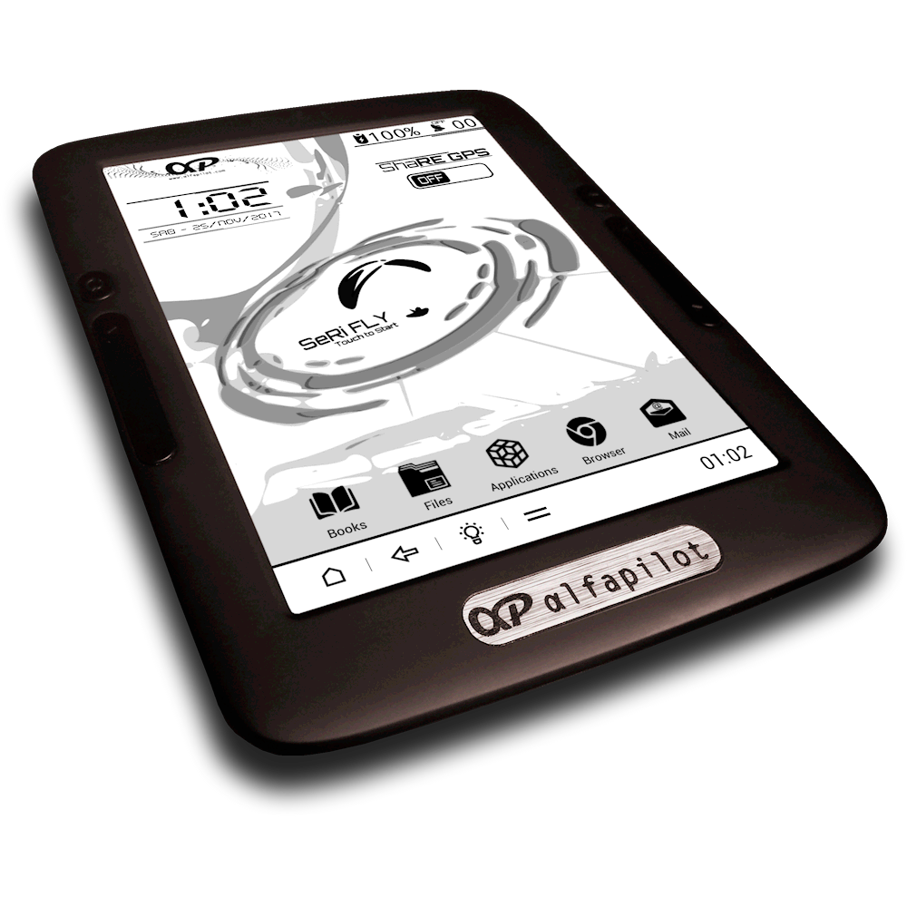
Designed for the most advanced and demanding navigation, they have a touch screen color or high contrast electronic ink that is much larger than the other variometers, although they also fulfill this function by having a pressure sensor but with very reduced weight and thickness thanks to tablet design.We will enjoy all the functions that we can find in the most advanced variometers but with added features such as being able to check time and see readings of weather stations near real time or load a thermal map to get to know the hottest points among many other functions .We can choose among different personable viewing options by integrating topographic and road maps simultaneously with all the flight information, from the compass with our romb, direction and wind speed, with or without racing features, gps and plane speed, attendees of triangles and transition, airspace, warnings, alarms and Wi-Fi or Bluetooth connectivity with features from automatically uploading flights to the internet to live tracking.
Showing all 4 results

 Brand: Naviter Add to cartMORE INFO
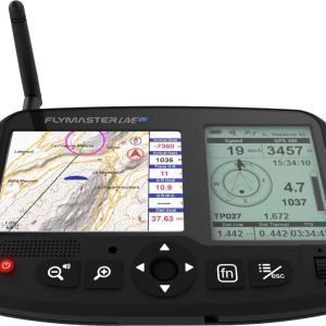
Naviter Oudie 4
749,00€The most advanced device for racing navigation and cross country, it’s working just take it from the box and does not require any initial configuration. We will enjoy a one-year license with access to all updates of the SeeYou software and we will have pre-flight planning functions, flight browsing and post-flight analysis.
Vario exceptionally accurate (with assistance in turn) to obtain the best lift rate.
With worldwide maps and preloaded airspace, easy to use and ready to fly.
Easy-to-read color screen even under the brightest sun light.
It helps you find the best lift with the thermal assistant.
Competition features to help you fly better and faster.
 Brand: Syride Add to cartMORE INFO
Syride SYS’Evolution
649,00€Flight computer with very simple and intuitive software, recommended from someone who starts up to the cross country pilot.
Bluetooth Live Tracking by your phone and automatic synchronization for online flights, flight information zones, weather forecasting, Wi-Fi connectivity, augmented reality technology with 3D topography viewing airspace, waypoints and transition assistant or triangle optimization.
6 ” electronic ink and multi-GNSS GPS chip with GPS, GLONASS, Beidou and Galileo simultaneously.
Autonomy >20 to 30h with less than 300gr and 1.5cm thick!